12d Synergy Product Tour
Document Management
Worksharing
Advanced Data Management
CAD Management
Connected Products
Advanced 12d Model Management
Step up to superior folder-based geospatial data management with faster data transfers, reduced data storage and streamlined collaboration
- Learn how to optimise your data transfers
- Speed up 12d Model program performance
- Enable seamless multi-office collaboration
- Break free of your desk with remote access
- Transform your business today
- Enhance your daily productivity
- Enjoy the freedom of flexible working
- Streamline collaboration
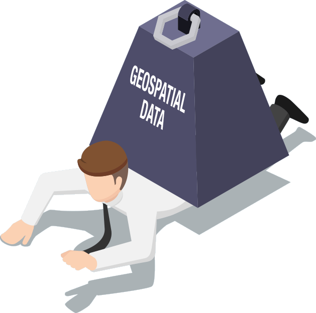
Crushed by the weight of your geospatial data?
Managing and transferring geospatial data has become one of today’s biggest challenges for the architectural, engineering and construction (AEC) industry.
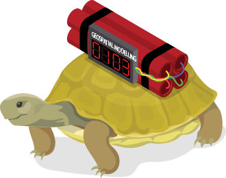
Geospatial data is now massive and complex with 325MB DWGs, 10GB 12d Model projects, 10GB LiDARs and 1TB mobile laser scans.
How to manage it? Transfer it? And reduce it? These are the issues that the industry is grappling with right now.
Why your current system doesn’t work
To handle these datasets, many businesses have adopted Windows Explorer network drives, VPN connections, generic document management systems or consumer-grade cloud sharing platforms.
But these workarounds create more problems than they solve…
- Network drives strangle geospatial software resulting in slow load times, slow saving and slow performance
- Enhanced risk of data corruption as systems which can’t handle ‘folder of files’ geospatial data potentially delete or corrupt project files
- Wasting hours of billable time waiting on 20-30 minute data transfers
- Slow, unreliable data transfers chain you to your desk preventing you from working on your 12d Model projects remotely
- All data integrity is lost as version duplicates are created and project overwrites occur, turning collaboration into chaos
- No clear audit trail of project changes and no capability to roll back to previous versions
Without an efficient way to transfer and collaborate on geospatial data, you are stuck with frustratingly slow load times, slow saving and slow program performance.

You need a smarter, faster way to manage and transfer your geospatial data, enabling you to efficiently work and collaborate on your geospatial designs without the risk of data corruption.
The Smarter Way to Manage 12d Model
12d Synergy is the only document management system that can seamlessly handle folder-based software programs, including 12d Model, TUFLOW, XPSWMM, LisCAD and SPACEGASS.
- Faster geospatial modelling performance – enjoy the speed and responsiveness of working off your local drive with the safety of centralised back-ups and full version control
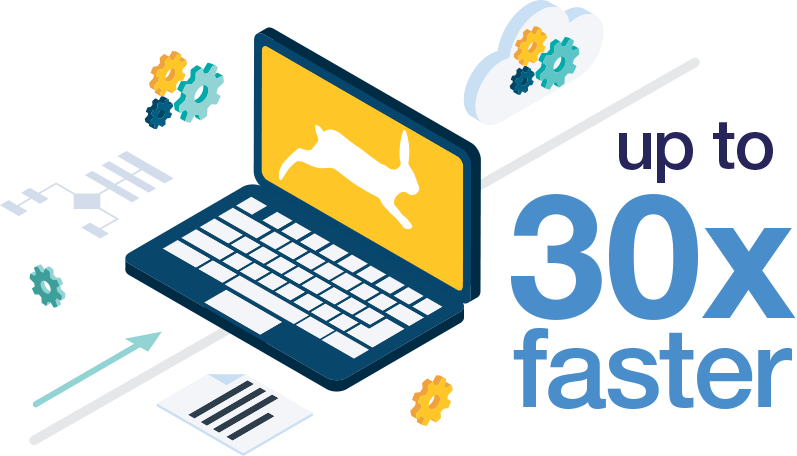
- Optimised data transfers – only changed files are transferred, not the whole project, reducing transfer size by up to 91%, resulting in up to 30x faster data transfers for remote staff and up to 4x faster for in-office users
- Keep your models safe with Managed Folders – 12d Synergy treats the whole folder as a single entity, eliminating the potential for data corruption
- High-speed cached customisation mode for your Customisations speeds up 12d Model performance
- Have faith in your data and collaboration that nothing is lost, broken, duplicated, outdated or corrupted, and that all data is easily and immediately accessible
- Track the who, what, when and why behind every edit with a complete audit trail, and enjoy the peace of mind of easy rollback
- Dramatically reduced project overhead costs as idle employee time and travel costs are minimised
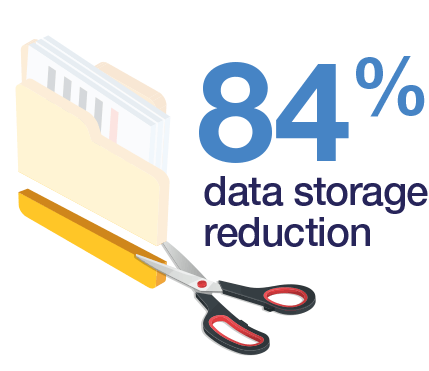
- Data storage reductions of up to 84% as 12d Synergy’s inbuilt version control system eliminates the need for milestone backups
“Before 12d Synergy we’d have to zip up 12d Model projects and email or share them via Dropbox, which wasn’t practical. Working from our network drive was clunky and error-prone, with the risk of duplicate data. 12d Synergy is excellent. I can get data easily, I can quickly open 12d Model projects and CAD files out of the office, and it’s super easy to use. It’s also reassuring knowing that I’m accessing the only copy of the data, so there are no duplicates being made”
Daryl Baynes
Senior Civil Engineer, Woods